Keep you geoscienctific datasets clean, well described and accessable with anyone you wish.
Watch feature video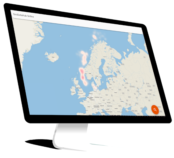
Data is only useful if you can find it. Use the flexible metadata system to describe your datasets with custom attributes or use one of the open standards from the schema repository. All attributes are verified every time anything changes to ensure the metadata meets your required format. We even supports advanced validation rules. Everything is searchable making it easy to find and share with colleagues.
Learn more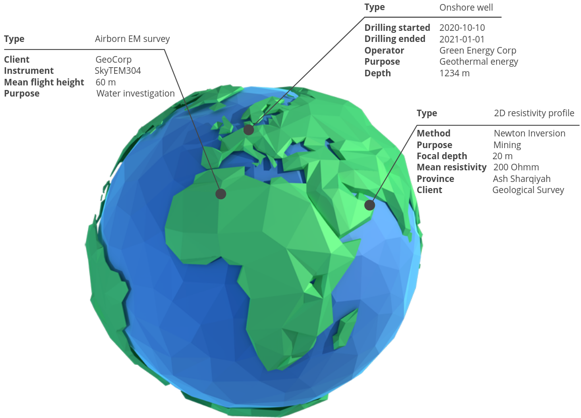
GeoDataHub separates data and metadata. Store your metadata with us and keep your data anywhere you like. Locally on your PC, internal network drives, FTP, in the cloud, on your own website, offline harddisk or external archives. They are all support!
You can even store data in multiple locations and link them to the same metadata. This is great for tracking offline backups or for sharing data with external collaborators.
Find, add, and update metadata directly from the tools you use every day. Missing support for your tool of choice? No problem - the public API is everything you need to build it yourself.
You have full programmatic control to automate repeated tasks using any scripting language - but we offer great support for Python. Want to build a custom interface that fits your organization or workflow? No problem. Our open APIs and great examples will get you started quickly.
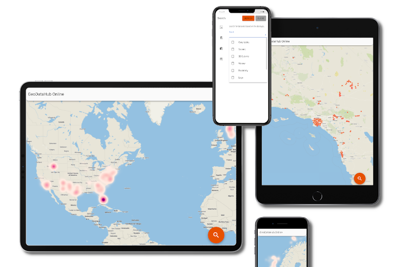
Geodata is often scattered across multiple locations and difficult to find unless you know where to look. GeoDataHubs extracts open information from public and private data repositories and makes them searchable through a single interface.
Not all geoscientific data is created equal. Define your schema using the open JSON schema format so your metadata is easy to share across applications. Create your own or use one of the open standard schemas from the repository.
We love open source and use it every day. Therefore, all our external components, interfaces and formats are open so you can make them work exactly as you want. Checkout our public code repository.
Customize your data access using the hierarchical permission system. Allow data managers full access across your organization while contractors are limited to view access on selected projects. Learn more.
Want to automate your data exchange process? Or build an internal company-wide website to showcase your airborne datasets? You can do that, and a lot more, using our developer-friendly environment.
By storing your metadata separately you can store your data anywhere. Also offline. Allow users to request datasets from your physical archive or offline tape backups in a single system.
GeoDataHub is designed to work with the tools you already use.